
 505. Long Draw Road and Reservoir
 502. Greyrock Trail
 503. Hewlett Gulch
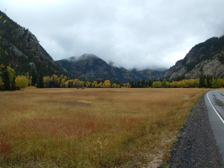
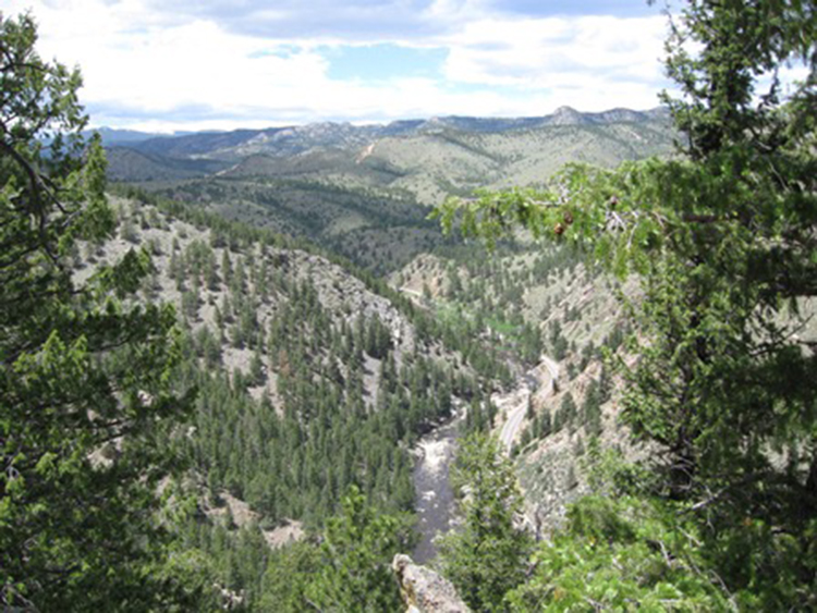
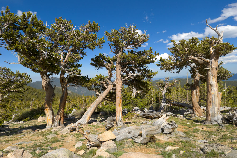
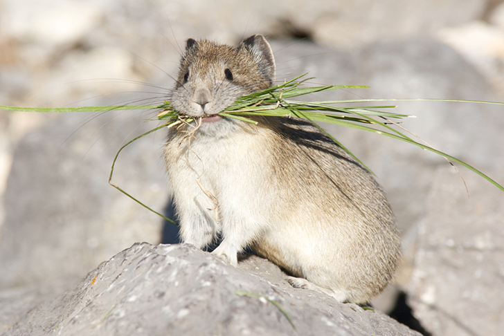
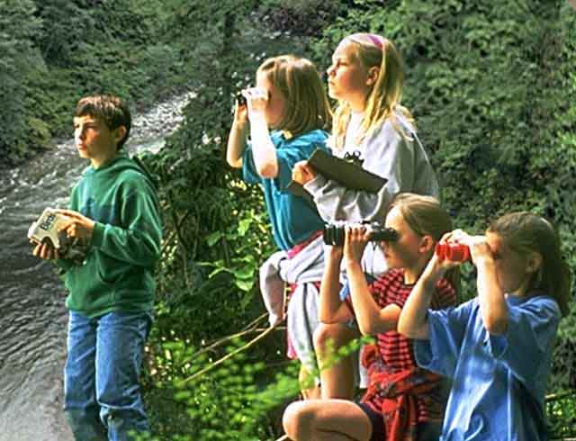
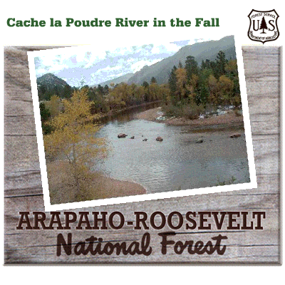
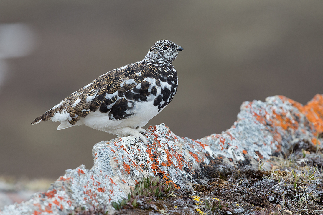
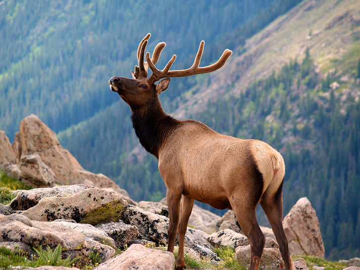
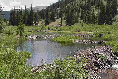
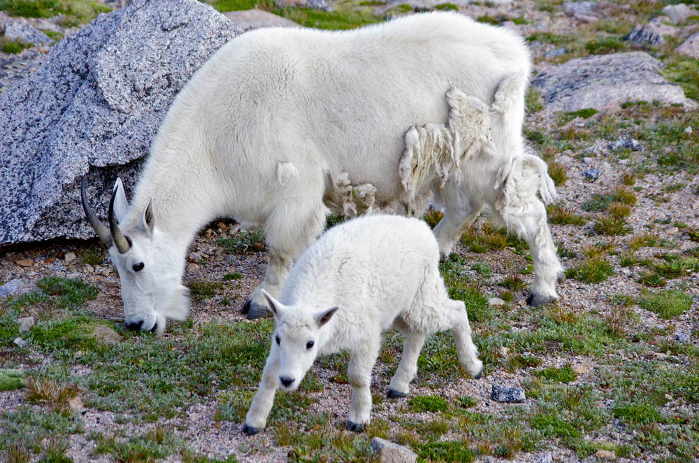
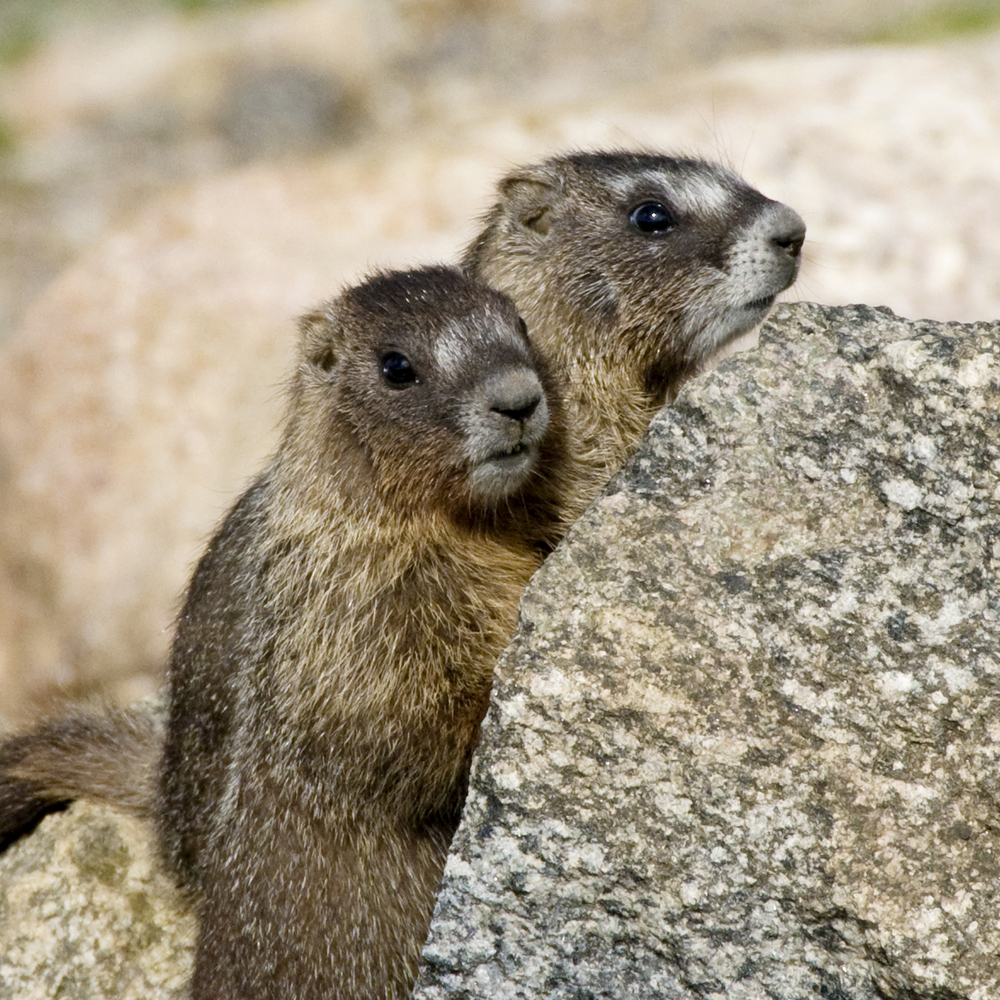
Welcome to the only Wild and Scenic River in the state of Colorado. The Cache la Poudre River is located east of the Continental Divide, in the northern Front Range of Colorado. It is affectionately known as the Poudre by local residents and longtime visitors to the area. On October 30, 1986, seventy-five miles of the Poudre were designated as part of the National Wild and Scenic Rivers System. The mainstem and south forks of the Poudre originate in Rocky Mountain National Park, then flow north and east through the Roosevelt National Forest. The river eventually passes through the City of Fort Collins, then joins the south Platte River east of Greeley. The Cache La Poudre River is an outstanding attraction for visitors and residents along Colorado‘s northern Front Range. Easily accessed by State Highway 14, the area is popular for scenic driving, camping, picnicking, fishing, rafting, kayaking, hiking and bicycling. The scenery is spectacular, with vertical rock cliffs, large pine and cottonwood trees along the river, and sparkling clear waters. Historical accounts trace the name for the Cache La Poudre River to early French trappers who were caught in a snowstorm and buried their gunpowder in a cache near the mouth of the river. You can leave comments on your experience by returning to site information on your mobile app, or by pressing *0 at the prompt.