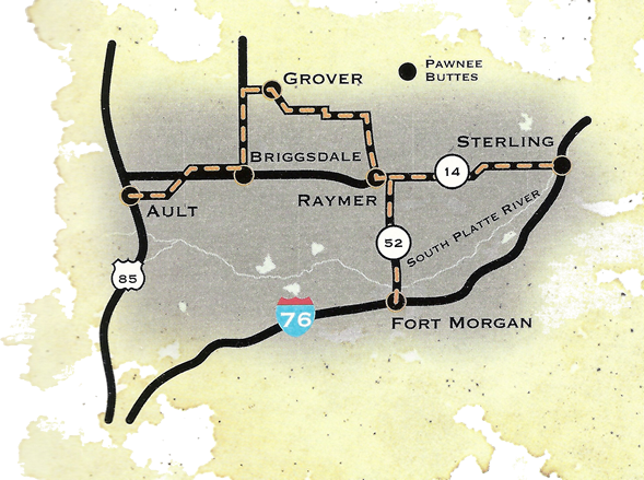
The adventure can begin with a drive along the Pawnee Pioneer Trails Scenic and Historic Byway, which is a 68-mile trip between Ault, Colo., to Sterling, Colo. For the traveler, the drive showcases the grassland’s magnificent vistas and small communities like Grover, Colo., one of the Pawnee Butte’s closest neighbors. The new Pawnee Buttes trailhead is 14 miles southeast of Grover and 73 miles northeast of Greeley. The region’s unpredictable weather cycles determined the fortunes of settlers to the area. During wet years, fragile lands were farmed. Dry years drove farmers and ranchers away. After the 1930s, soil conservation practices were adopted to minimize erosion. Some of these farms and ranches were sold to the government and now comprise the Pawnee National Grassland.
Visitors should keep an eye out for birds including falcons, eagles, owls, and the more than 200 other bird species that can be found in the area.
View a topographical map, get trip information, directions and learn about other recreation activities including campgrounds online or call 970-346-5000. The Pawnee National Grassland is one of 20 national grasslands spanning 12 states and 4 million acres managed by the U.S. Forest Service.
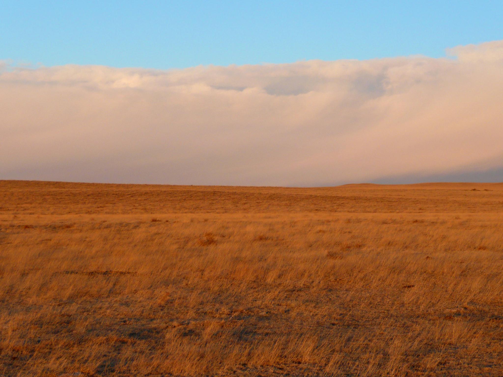
A bank of clouds roll across the grasslands
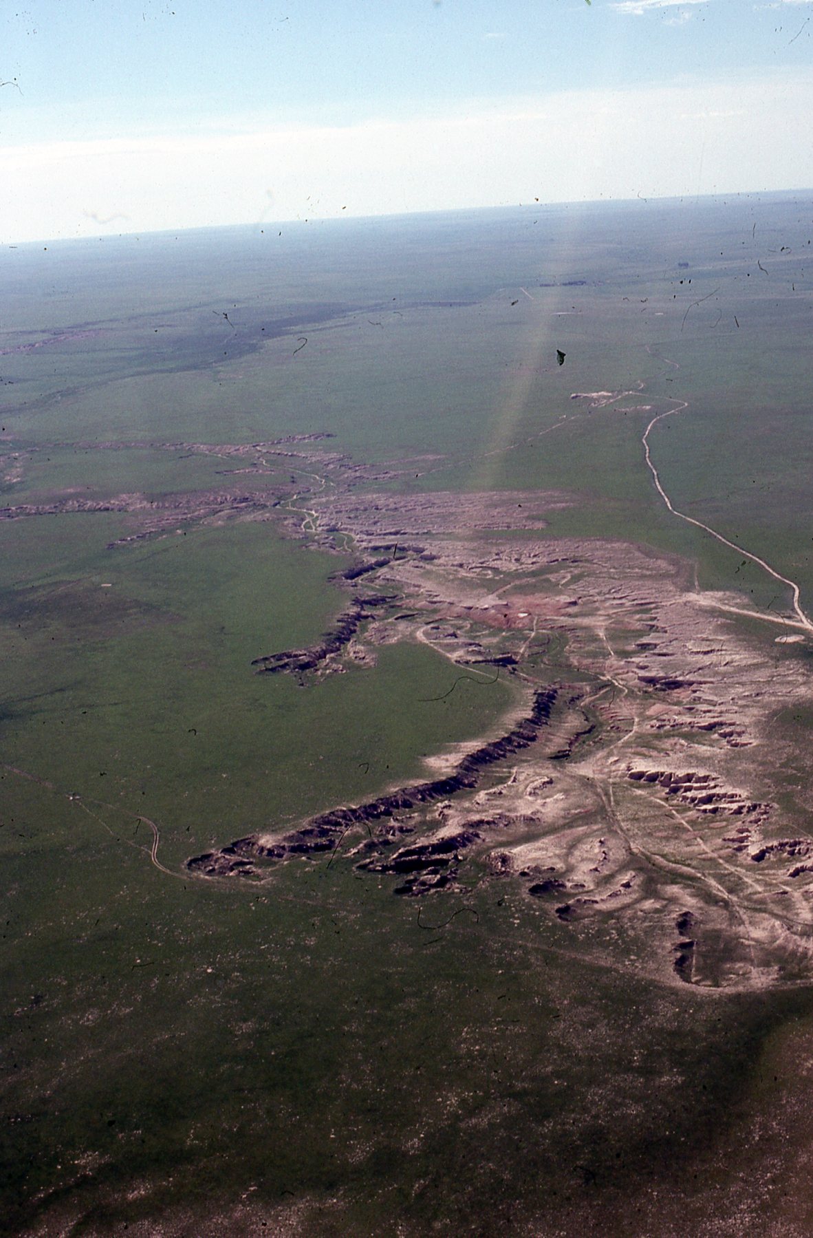
An aeiral image show the grasslands are not just flat terrain.
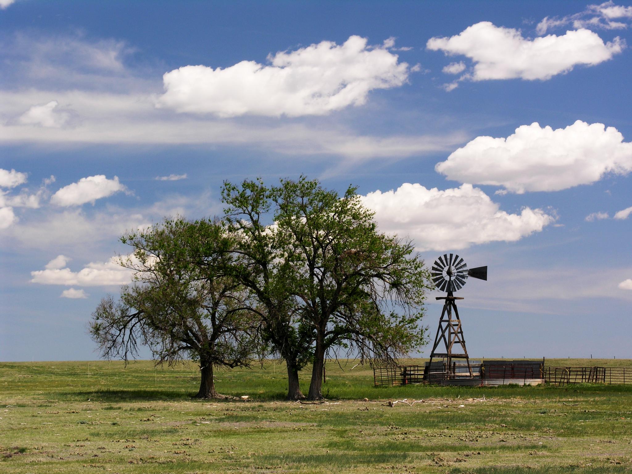
Windmills still dot the landscape in this arid landscape.